Tag:hazard=falling_rocks
 |
| Description |
|---|
| An area in which rocks, dirt, or other natural materials may fall unexpectedly from cliffs above, or may have fallen, presenting a hazard. |
| Group: hazards |
| Used on these elements |
| Useful combination |
| Status: approved |
| Tools for this tag |
|
A falling rocks hazard is an area in which rocks, dirt, or other natural materials may fall unexpectedly from cliffs above, or may have fallen, presenting a hazard. May be combined with natural=scree for areas in which rubble from prior falls has collected.
How to map
Falling rocks hazards may be mapped in the following ways:
- Place a node at the location of the falling rocks hazard traffic sign, tagged
traffic_sign=hazard+hazard=. - Tag a node along a
highway=*way at the location of the sign. - If the falling rocks sign indicates a distance, tag the section
 of
of highway=*where the falling rocks hazard is present.
Signage examples
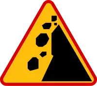
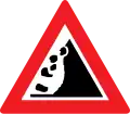
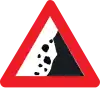
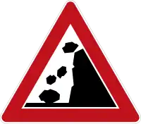
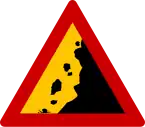
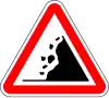
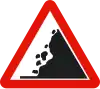
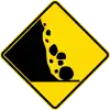
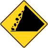
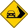
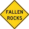
The tables below show what falling rocks hazard signage looks like in various countries.
European-style signage
| Austria | Belgium | Czechia | Denmark | Estonia | Finland | France | Germany | Greece |
|---|---|---|---|---|---|---|---|---|
|
|

|

|

|

|

|
|
|
| Hungary | Iceland | Italy | Luxembourg | Norway | Philippines | Poland | Portugal | Romania |
|---|---|---|---|---|---|---|---|---|

|

|

|

|

|

|
|
|

|
| Russia Belarus |
Slovakia | Slovenia | Spain | Sweden | Switzerland Liechtenstein |
Turkey | Ukraine | UK |
|---|---|---|---|---|---|---|---|---|

|
.svg.png)
|

|
|

|
.svg.png)
|

|

|
.svg.png)
|
MUTCD-style signage
| Argentina | Australia | Brazil | Canada | Canada (Ontario) |
Canada (Quebec) |
Chile | Colombia |
|---|---|---|---|---|---|---|---|
|
|

|

|
|
|

|
|
| Indonesia | Ireland | Jamaica | Japan | Liberia | Malaysia | Mexico | New Zealand |
|---|---|---|---|---|---|---|---|

|

|

|

|

|

|

|

|
| Panama | Peru | Thailand | USA | Uruguay |
|---|---|---|---|---|

|

|

|
|

|